
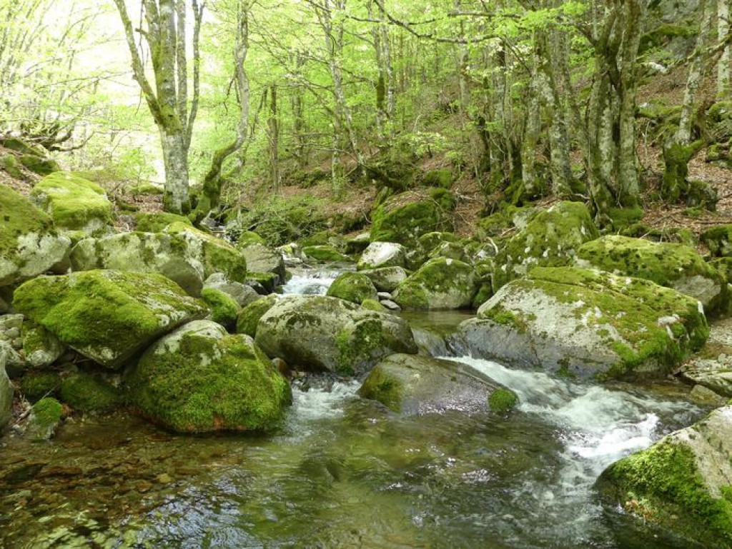
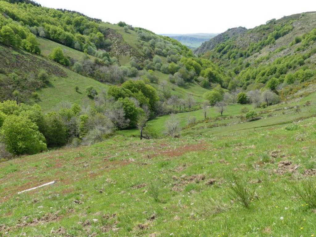
From Cabrillac, you take the grande draille d'Aubrac (Aubrac drovers’ road) to Le Plo de la Couaille, where you have the option (an additional 2 hrs, on the GR60) to reach the summit of Mont Aigoual and enjoy the stunning views (on a clear day). This hike with its crooked trees is full of charm. On the way, you may surprise a fox or a wild sow with its young. The forest, though planted, seems wild!
Conquer Mont Aigoual on a former drovers’ road through these crooked beech forests!

- Distance 11.81 km
- Elevation gain 540 m
- Elevation lost 540 m
- Min. elevation 1170 m
- Max. elevation. 1508 m
- Duration (depending on pace) 4h30
- Suivre le balisage Yes

1 – Near the top of the hill, the path widens and enters the beech forest until it reaches first the crest, then the level area of Le Plo du Four.
2 – From Le Plo du Four, the path starts to climb again; it follows the D18. At first it remains under cover of the trees, before emerging onto the short-grass prairie. Well before the ladder near the road, fork right onto the path (by a pile of stones)that leads towards the road.
3 – Cross the road and take the path, which turns into a track and crosses a heath. Having gone through an open fence, the track enters a beech forest and weaves through the trees. At first, it follows a fence, then runs along the ridge that separates the Brèze valley to the west from the Jonte valley to the east.
4 – At the first fork, at Le Plo de l’Homme-mort, leave the ridge on a track to the right that skirts it. After 500m, at the crossroads, turn right alongside an reforested area. After a slight climb, the track goes sharply downhill. Ignore the paths on the right that enter it. Where you cross the path from les Oubrets, turn right. After 250 m, you come out onto a large forestry track at le Col del Bès pass.
5 – From the pass, go right and descend towards the Jonte River, ignoring a track on the right. Cross the river and climb back up to Cabrillac (GR®66).
Parking : At the southern end of Cabrillac
Get all the routes on your smartphone with the Lozère outdoor app. You'll find all outdoor activities (summer and winter seasons) and a host of functions :
- Take advantage of detailed IGN maps
- Download data for consultation even when you're not connected to the network
- Geolocate yourself at any time on the route and altimeter profile
- Activate the off-track alarm to be alerted if you stray from the itinerary
- Share your experience (add a report, share your lap time)...


the digital trails


![]()
The Lozère Outdoor application was created
by the Lozère Department
Infos & contacts
Conseil départemental de la Lozère
sportsnature@lozere.fr
+33(0)4 66 49 66 32
Crédits photos
 Lozère Outdoor - Parcours - The Aigoual forest
Lozère Outdoor - Parcours - The Aigoual forest
Lozère Outdoor - Parcours - The Aigoual forest
Lozère Outdoor - Parcours - The Aigoual forest
Lozère Outdoor - Parcours - The Aigoual forest

