
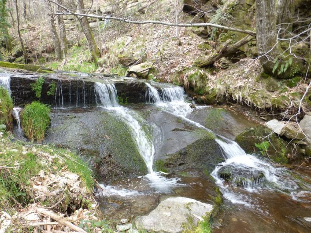
La Flandonenque, grande vallée du hameau de Flandres, vous mène à la découverte d'une végétation généreuse, de hameaux au riche passé historique, et du Gardon de St-Germain-de-Calberte qui alimente cascades et gours.
The sizeable valley in which the hamlet of Flandres stands is known as La Flandonenque and offers lush vegetation, hamlets steeped in history, and the Gardon de St-Germain-de-Calberte with its waterfalls and gours (natural basins).

- Distance 9.27 km
- Elevation gain 310 m
- Elevation lost 310 m
- Min. elevation 526 m
- Max. elevation. 768 m
- Duration (depending on pace) 4h
- Suivre le balisage Yes

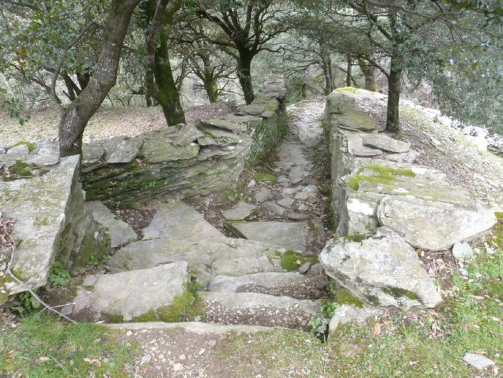
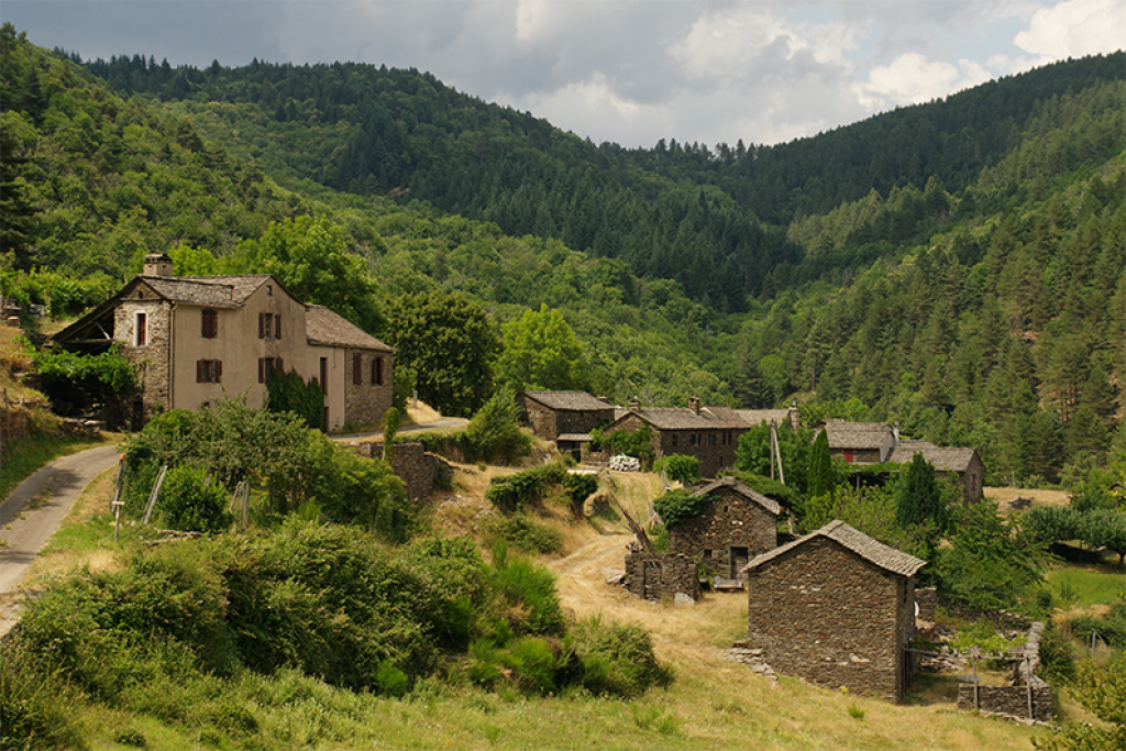
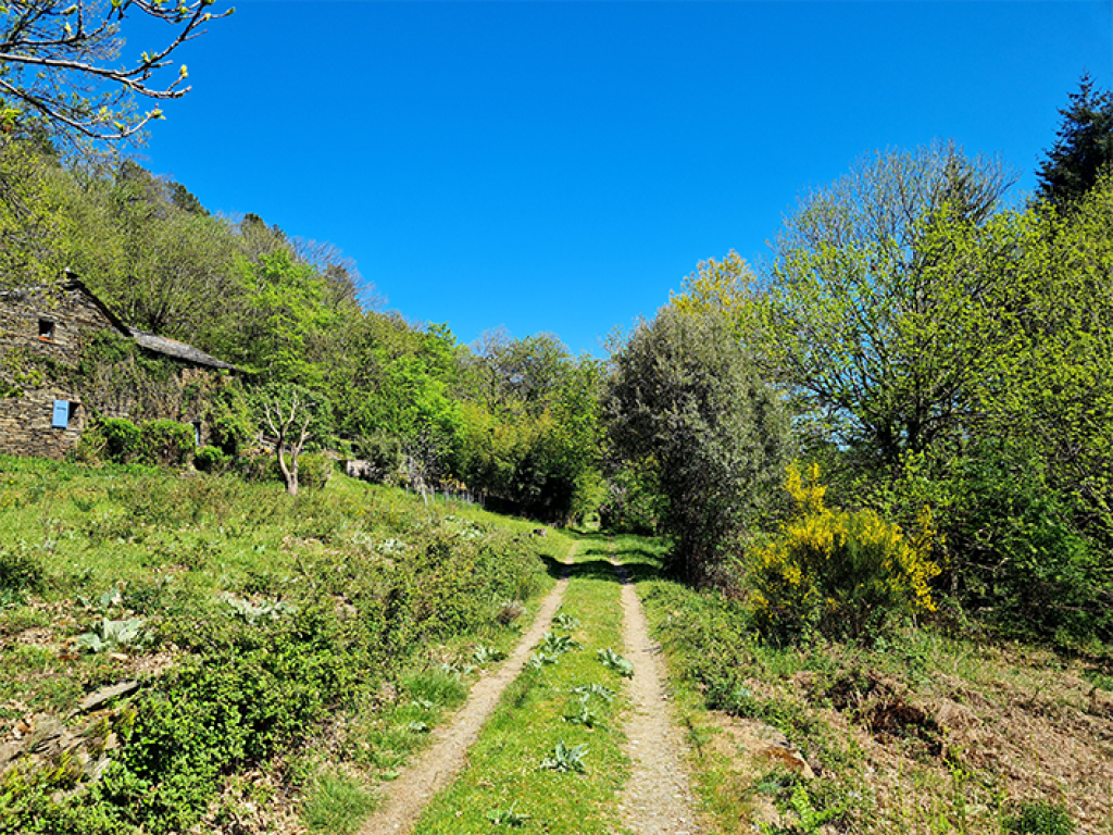
Start by following the dirt track (and stay on this main track). Then leave the track by heading right on L'Escaillou, a skidding track that goes uphill into the woods. At the second road, turn right to reach the hamlet of Flandres. As you leave Flandres, a path goes downhill on the right towards a mill, then joins up with the main track again, which takes you to Nozières. As you leave Nozières, go right at the last house and head for La Fare. The footpath becomes narrower for about 1.5 km. In a sharp bend, it meets a larger track. Turn left and enter La Fare by following the path between the houses. As you leave the hamlet, turn right. Follow the lane for about 100 m and turn left. In another small valley, the path curves to reach Le Vernet on the opposite slope. At Le Vernet, walk below the first house on the right, fork left and go through a barrier and then downhill through the meadow to a sheepfold. The path then joins a trincat (channel for diverting water) to reach a bridge. From the bridge, go up the slope in front of you to return to the starting-point.
Parking : Park where the lane exits the hamlet of Le Cros
Get all the routes on your smartphone with the Lozère outdoor app. You'll find all outdoor activities (summer and winter seasons) and a host of functions :
- Take advantage of detailed IGN maps
- Download data for consultation even when you're not connected to the network
- Geolocate yourself at any time on the route and altimeter profile
- Activate the off-track alarm to be alerted if you stray from the itinerary
- Share your experience (add a report, share your lap time)...


the digital trails


![]()
The Lozère Outdoor application was created
by the Lozère Department
Infos & contacts
Conseil départemental de la Lozère
sportsnature@lozere.fr
+33(0)4 66 49 66 32
Crédits photos
 Lozère Outdoor - Parcours - La Flandonenque
Lozère Outdoor - Parcours - La Flandonenque
Lozère Outdoor - Parcours - La Flandonenque
Lozère Outdoor - Parcours - La Flandonenque
Lozère Outdoor - Parcours - La Flandonenque

