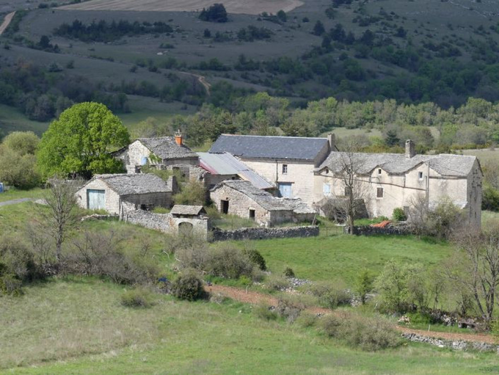
Pessades farm
Add to my favorites

Route opened
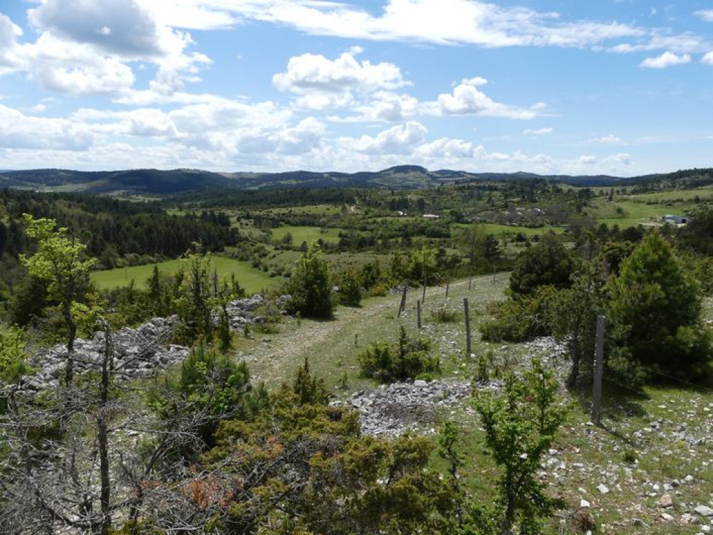
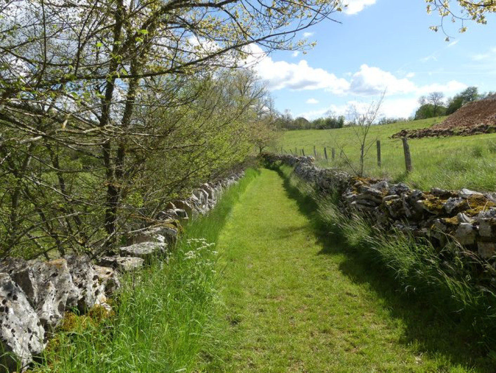
Sheltered from the predominant winds, you walk on a draille (drovers’ road) through the very heart of the UNESCO World Heritage site. Limestone crosses adorned with the benefactor’s name dot the route like votive offerings.
An outdoor exploration of traditional architecture and panoramic views over the Causse de Sauveterre and the mountains of the Aubrac.
The characteristics of the route.

Champerboux, sur la route de la Périgouse (48)
- Distance 7.97 km
- Elevation gain 210 m
- Elevation lost 210 m
- Min. elevation 837 m
- Max. elevation. 949 m
- Duration (depending on pace) 2h30
- Suivre le balisage Yes

Take the tarred road for 800 m towards La Périgouse.
1) Leave the road by turning left onto the second track by the cross of Rocoplan.
2) Go round a bend and continue straight ahead on the path that descends alongside the fence.
3) At the bottom of the downhill slope, leave the track on the left.
4) By a fork near the road, turn left on the path that goes up on the ridge.
5) By the barrier, leave the path to take the track on the right. Cross the road and continue straight ahead.
6) At the crossroads, continue on the left, following the track uphill (former draille or drovers’ road).
7) Before you arrive at the top of the ridge, turn left onto a small path towards Pessades (waymarked yellow and red).
8) Cross the road and follow the path that runs alongside Pessades farm on the left.
9) 1 km after Pessades farm, turn right.
10) At the cross, go uphill to Champerboux, and, in the village, take the second road on the left to return to the car park.
Parking : 800 m towards La Périgouse
Area : Causses et Gorges
Report a problem
Pdf file THIS ROUTE IN YOUR MOBILE PHONE
Download Lozère Outdoor app
Get all the routes on your smartphone with the Lozère outdoor app. You'll find all outdoor activities (summer and winter seasons) and a host of functions :
- Take advantage of detailed IGN maps
- Download data for consultation even when you're not connected to the network
- Geolocate yourself at any time on the route and altimeter profile
- Activate the off-track alarm to be alerted if you stray from the itinerary
- Share your experience (add a report, share your lap time)...

Add your time and share your feelings


Follow us on
the digital trails
the digital trails


![]()
The Lozère Outdoor application was created
by the Lozère Department
Infos & contacts
Conseil départemental de la Lozère
sportsnature@lozere.fr
+33(0)4 66 49 66 32
Crédits photos
 Lozère Outdoor - Parcours - Pessades farm
Hello, world! This is a toast message.
Lozère Outdoor - Parcours - Pessades farm
Hello, world! This is a toast message.
Lozère Outdoor - Parcours - Pessades farm
Hello, world! This is a toast message.


OK
Annuler