
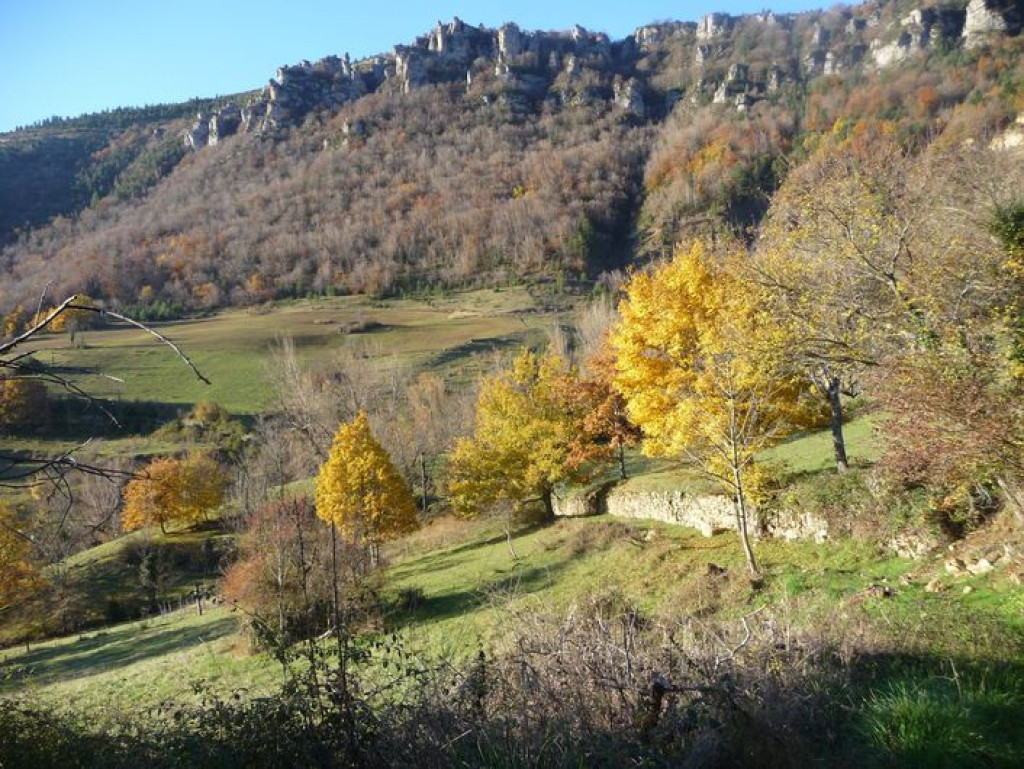
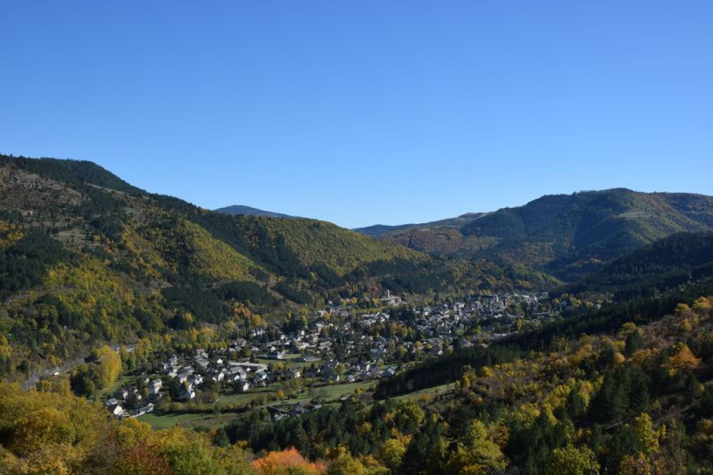
This fairly short trail is ideal for those who are unsure about braving the tough ascent to the Causse plateau. It leads hikers under the cliffs, from where they have towering views over the small town of Florac nestling in the hollow of the narrow Tarnon valley, and then into the very heart of a chestnut grove.
With panoramic views onto Florac and the Tarnon valley, this is a handsome trail amongst the chestnut trees that allows you to explore schist and limestone hamlets.

- Distance 8.34 km
- Elevation gain 300 m
- Elevation lost 300 m
- Min. elevation 537 m
- Max. elevation. 806 m
- Duration (depending on pace) 2h30
- Suivre le balisage Yes

- At the second crossroads, in a big bend, go straight ahead and immediately take the path on the left going uphill towards a house. There, take the path on the right.
- At Gralhon, follow the road for 400 m.
- Leave the road to take a track on the right that runs along a flat ledge of the Causse Méjean, below the cliffs, to the hamlet of Monteils.
- Go through the hamlet.
- As you leave it, take on your right a path that goes downhill through the chestnut grove, cutting across the road. Cross an old bridge as you come out of the forest, then take the road to Salièges.
- From here, follow the road downhill and along the river Tarn to Florac.
Parking : Car park, joint tourism office and National Park information centre.
Get all the routes on your smartphone with the Lozère outdoor app. You'll find all outdoor activities (summer and winter seasons) and a host of functions :
- Take advantage of detailed IGN maps
- Download data for consultation even when you're not connected to the network
- Geolocate yourself at any time on the route and altimeter profile
- Activate the off-track alarm to be alerted if you stray from the itinerary
- Share your experience (add a report, share your lap time)...


the digital trails


![]()
The Lozère Outdoor application was created
by the Lozère Department
Infos & contacts
Conseil départemental de la Lozère
sportsnature@lozere.fr
+33(0)4 66 49 66 32
Crédits photos
 Lozère Outdoor - Parcours - Gralhon
Lozère Outdoor - Parcours - Gralhon
Lozère Outdoor - Parcours - Gralhon
Lozère Outdoor - Parcours - Gralhon
Lozère Outdoor - Parcours - Gralhon

