
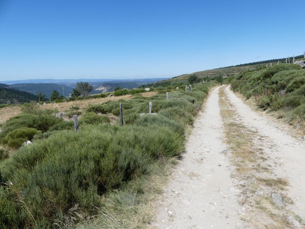
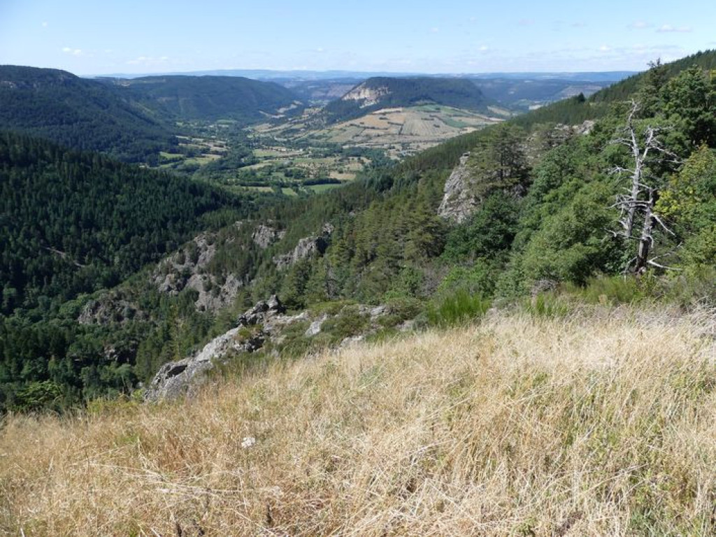
Discover the Bramont gorge with its partly subterranean river and its mill. The return leg is on the heights, through hamlets with a wealth of handsome architecture and exceptional rural heritage elements.

- Distance 9.22 km
- Elevation gain 380 m
- Elevation lost 380 m
- Min. elevation 868 m
- Max. elevation. 1213 m
- Duration (depending on pace) 3h
- Suivre le balisage Yes

Signposts will guide you all along this route. In the description below, the signposted place names and/or directions are given in bold italics between quotation marks:
Starting from "Saint-Etienne du Valdonnez", walk towards "La Fage" via "Mairie" :
- “Passerelle du Bramont”,
- “La Borie”.
- At “La Fage” return to “Saint-Etienne du Valdonnez” via :
- “Bassy”,
- “Chemin de Bassy”.
This hike is taken from the guidebook Mont Lozère – Pays des sources, de la montagne du Goulet aux gorges du Bramont, published by the Pôle de pleine nature du Mont Lozère.
Parking : At the Poste (post office)
Get all the routes on your smartphone with the Lozère outdoor app. You'll find all outdoor activities (summer and winter seasons) and a host of functions :
- Take advantage of detailed IGN maps
- Download data for consultation even when you're not connected to the network
- Geolocate yourself at any time on the route and altimeter profile
- Activate the off-track alarm to be alerted if you stray from the itinerary
- Share your experience (add a report, share your lap time)...


the digital trails


![]()
The Lozère Outdoor application was created
by the Lozère Department
Infos & contacts
Conseil départemental de la Lozère
sportsnature@lozere.fr
+33(0)4 66 49 66 32
Crédits photos
 Lozère Outdoor - Parcours - The Bramont gorge
Lozère Outdoor - Parcours - The Bramont gorge
Lozère Outdoor - Parcours - The Bramont gorge
Lozère Outdoor - Parcours - The Bramont gorge
Lozère Outdoor - Parcours - The Bramont gorge

