
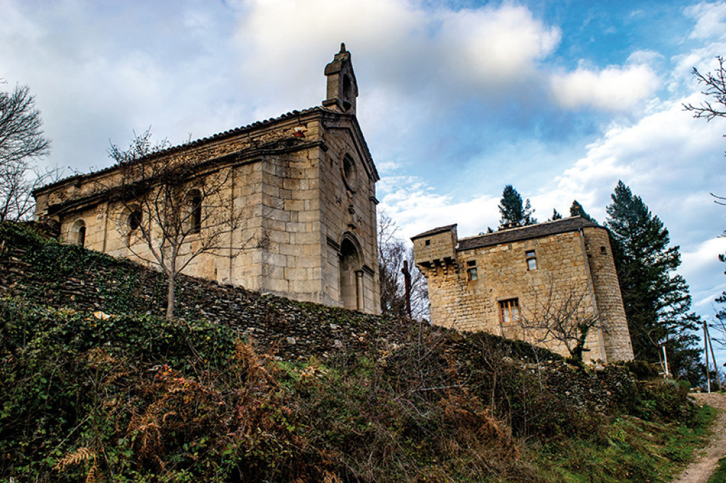
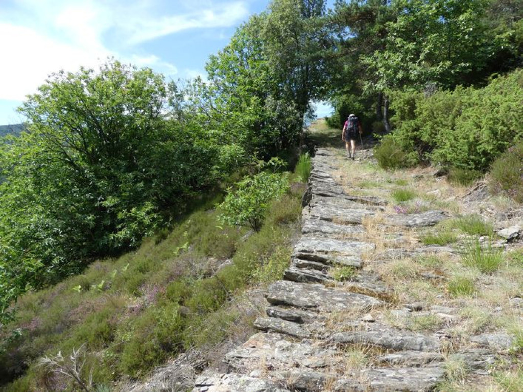
Almost in the Ardèche department, this long hike alternates ridge paths and immersion in shady pine forests.

- Distance 14.84 km
- Elevation gain 490 m
- Elevation lost 490 m
- Min. elevation 562 m
- Max. elevation. 896 m
- Duration (depending on pace) 4h30
- Suivre le balisage Yes

Signposts will guide you all along this route. In the description below, the signposted place names and/or directions are given in bold italics between quotation marks :
From “MALÔNS ET ELZE” walk to “ELZE” via :
- “Malôns-Eglise”,
- “Croix de la Rousse”,
- “La Tranchée de Malons”,
- “Le Bécassin”. At “Le Bécassin”, turn right to “ELZE”.
- At “ELZE”, turn left to “MAS DE L'AYRE” via :
- “L'Ayre”,
- “Col du Mas de l'Ayre”,
- “MAS DE L'AYRE”. At “MAS DE L'AYRE” return to “MALÔNS ET ELZE” via :
- “Le Bécassin”,
- “La Tranchée de Malons”. At “La Tranchée de Malons”, turn right to “MALÔNS ET ELZE”.
This hike is taken from the guidebook Mont Lozère - Pays des sources de la Margeride au lac de Villefort en Cévennes published by the Pôle de pleine nature du Mont Lozère.
Parking : Car park at the Mairie (village hall)
Get all the routes on your smartphone with the Lozère outdoor app. You'll find all outdoor activities (summer and winter seasons) and a host of functions :
- Take advantage of detailed IGN maps
- Download data for consultation even when you're not connected to the network
- Geolocate yourself at any time on the route and altimeter profile
- Activate the off-track alarm to be alerted if you stray from the itinerary
- Share your experience (add a report, share your lap time)...


the digital trails


![]()
The Lozère Outdoor application was created
by the Lozère Department
Infos & contacts
Conseil départemental de la Lozère
sportsnature@lozere.fr
+33(0)4 66 49 66 32
Crédits photos
 Lozère Outdoor - Parcours - Elze
Lozère Outdoor - Parcours - Elze
Lozère Outdoor - Parcours - Elze
Lozère Outdoor - Parcours - Elze
Lozère Outdoor - Parcours - Elze

