Du Gévaudan au Velay
Add to my favorites

Route opened
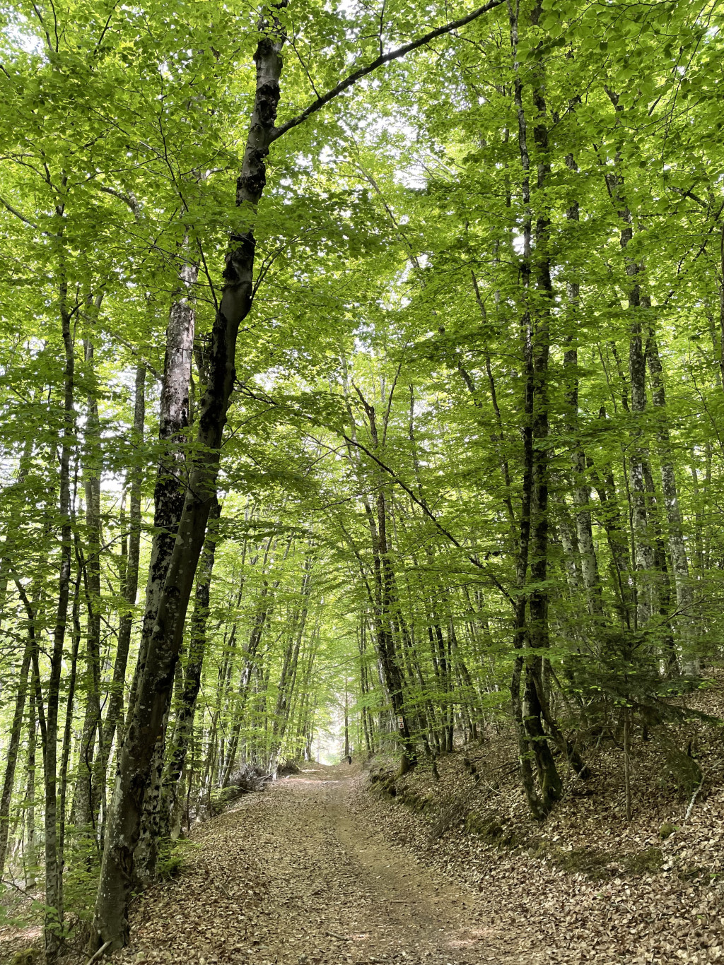
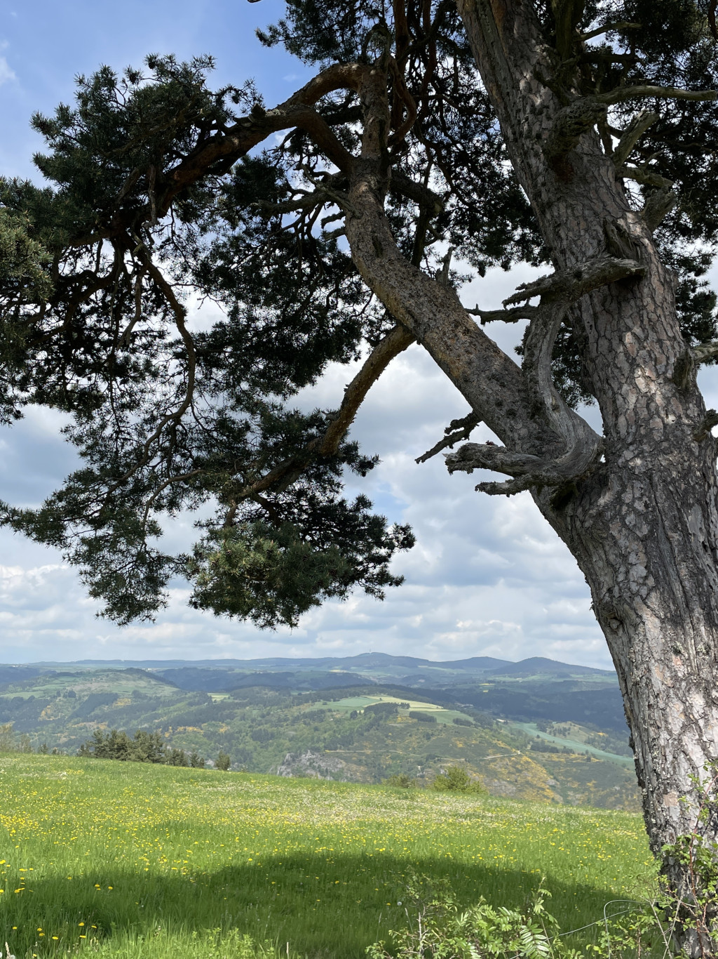
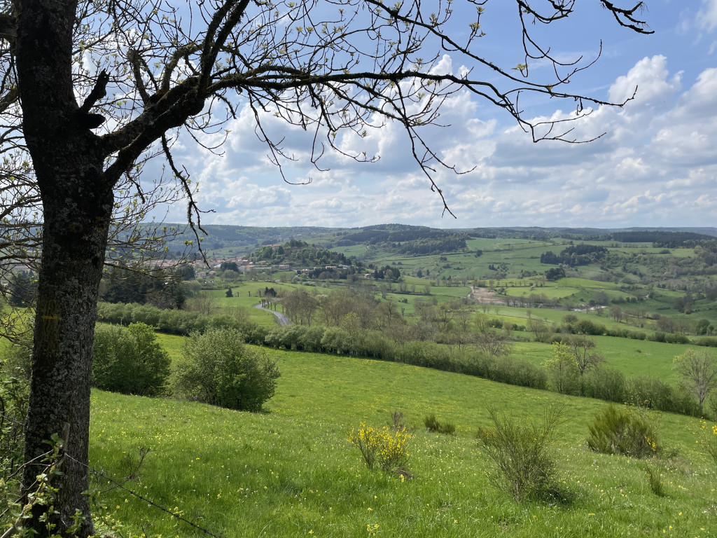
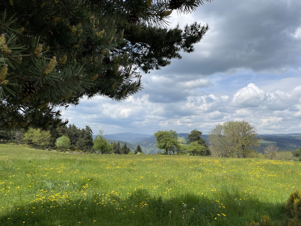
Beautiful panoramas that deserve to be admired at length.
From the banks of the Ance to those of the Allier, from the Margeride to the discovery of the Allier gorges and the volcanoes of the Devès, it is pure bliss in the calm of the landscapes...
The characteristics of the route.

Place au Monument (48)
- Distance 8.85 km
- Elevation gain 270 m
- Elevation lost 270 m
- Min. elevation 954 m
- Max. elevation. 1070 m
- Duration (depending on pace) 3h
- Suivre le balisage Yes

- Cross the village square, keeping to the left of the trailhead sign so that the war memorial and fountain are behind you. Take the right-hand street at the fork and head towards the fountain opposite, against a wall.
- At the fountain, turn right between the houses, then right again at the next intersection. The route descends; continue straight ahead until you reach a fork.
- Turn left and follow the path between hedges or stone walls to reach the village of Freissenet. At the intersection, turn left, then immediately right. Turn left again, go behind the buildings, and follow the path as it climbs gently until you reach the road. Turn right, then right again for a few meters, continuing along the D32. Cross the departmental road just before a stone cross.
- Take the path opposite, which leads towards the houses and cuts across the switchbacks of the D325, and descend to the church square in Saint-Vénérand.
- Continue along the road and at the next intersection near the farms, take the left-hand path. Enter the beech forest and walk through it. At the end of the walk (there is a risk of flooding in wet weather), you will reach the edge of the hamlet of Ménial.
- Take the road to the right and, 100 meters further on, turn right again onto a farm track; follow it straight ahead for about 1 km until you reach a sharp right turn.
- Take the path to the right and then immediately to the left (if there is an electric fence, return to the previous intersection by going straight ahead to the road and then turn right to reach the houses). At the houses, leave the road and take the path to the right. Cross the D32 (caution) at the place called La Pierre Plantée and continue straight ahead until you reach the D 59 road; take it on the left (caution) to return to the starting point.
Parking : Monument Square
Area : Margeride
Report a problem
Pdf file THIS ROUTE IN YOUR MOBILE PHONE
Download Lozère Outdoor app
Get all the routes on your smartphone with the Lozère outdoor app. You'll find all outdoor activities (summer and winter seasons) and a host of functions :
- Take advantage of detailed IGN maps
- Download data for consultation even when you're not connected to the network
- Geolocate yourself at any time on the route and altimeter profile
- Activate the off-track alarm to be alerted if you stray from the itinerary
- Share your experience (add a report, share your lap time)...

Add your time and share your feelings


Source of the data : Département de la Lozère

Follow us on
the digital trails
the digital trails


The Lozère Outdoor application was created
by the Lozère Department
Infos & contacts
Conseil départemental de la Lozère
sportsnature@lozere.fr
+33(0)4 66 49 66 32
Crédits photos
 Lozère Outdoor - Parcours - Du Gévaudan au Velay
Hello, world! This is a toast message.
Lozère Outdoor - Parcours - Du Gévaudan au Velay
Hello, world! This is a toast message.
Lozère Outdoor - Parcours - Du Gévaudan au Velay
Hello, world! This is a toast message.


OK
Annuler