Dargilan
Add to my favorites

Route opened
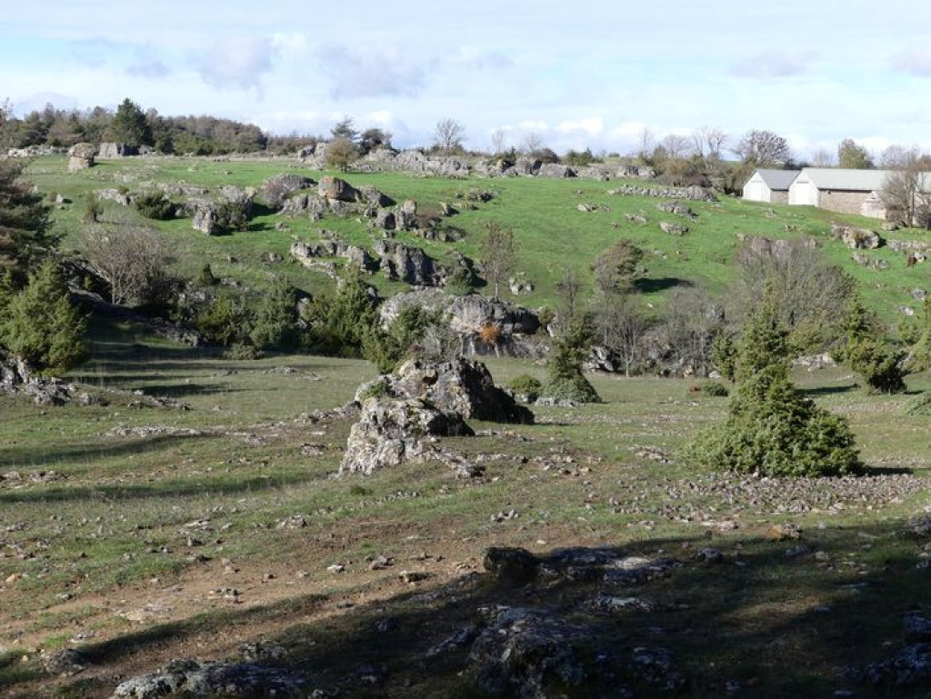
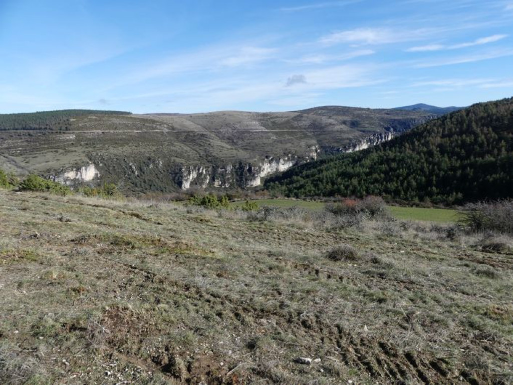
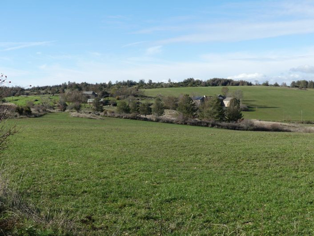
A plateau path through typical hamlets and a magnificent section with views onto the Jonte Gorge.
The characteristics of the route.

Sérigas, causse Noir (48)
- Distance 9.74 km
- Elevation gain 230 m
- Elevation lost 230 m
- Min. elevation 854 m
- Max. elevation. 968 m
- Duration (depending on pace) 2h45
- Suivre le balisage Yes

Take the road towards Dargilan for 500 m.
1) At the water reservoir, leave the road and take a track just below it, on the left. The track runs past the farm of Les Brousses.
2) Ignore the left-hand track and continue straight ahead on the track that goes through pine plantations before coming out onto the D 47c road, the border between the Gard and Lozère departments.
3) Turn right onto the road and walk to the crossroads of the Croix des Trois Evêques (Three Bishops’ Cross).
4) At the crossroads, continue straight ahead on the D139 towards Dargilan.
5) In the hamlet of Dargilan, take the track on the right for 800 m. At the bottom of the slope, leave the track and take a path on the left that runs along the ledge of the Causse Noir until Sérigas.
Parking : Sérigas
Area : Cévennes et Mont Lozère
Report a problem
Pdf file THIS ROUTE IN YOUR MOBILE PHONE
Download Lozère Outdoor app
Get all the routes on your smartphone with the Lozère outdoor app. You'll find all outdoor activities (summer and winter seasons) and a host of functions :
- Take advantage of detailed IGN maps
- Download data for consultation even when you're not connected to the network
- Geolocate yourself at any time on the route and altimeter profile
- Activate the off-track alarm to be alerted if you stray from the itinerary
- Share your experience (add a report, share your lap time)...

Add your time and share your feelings


Follow us on
the digital trails
the digital trails


![]()
The Lozère Outdoor application was created
by the Lozère Department
Infos & contacts
Conseil départemental de la Lozère
sportsnature@lozere.fr
+33(0)4 66 49 66 32
Crédits photos
 Lozère Outdoor - Parcours - Dargilan
Hello, world! This is a toast message.
Lozère Outdoor - Parcours - Dargilan
Hello, world! This is a toast message.
Lozère Outdoor - Parcours - Dargilan
Hello, world! This is a toast message.


OK
Annuler