
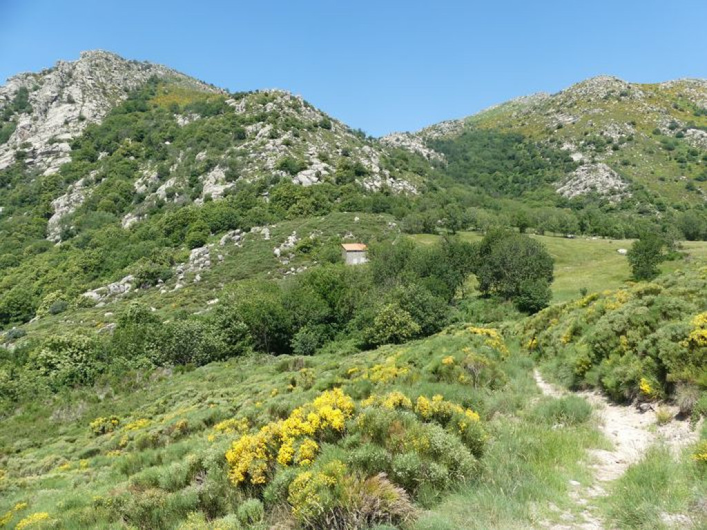
This path overlooking the Homol valley and its state forest offers beautiful views from the passes at Col de la Coste and Col de Montclar and from Chastelas (altitude 957m).

- Distance 11.28 km
- Elevation gain 550 m
- Elevation lost 550 m
- Min. elevation 455 m
- Max. elevation. 950 m
- Duration (depending on pace) 4h30
- Suivre le balisage Yes

Signposts will guide you all along this route. In the description below, the signposted place names and/or directions are given in bold italics between quotation marks :
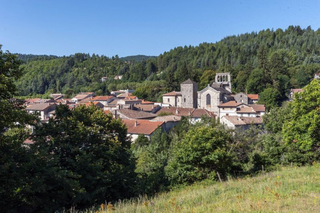
From "Génolhac" walk to "Col de Montclar" via :
- "Soubre Montclar",
- "Col de Montclar" then head for "Le Chastelas" via :
- "Sous le col de Montclar". Return to "Génolhac" via :
- "Puecharus",
- "Serre de Puecharus",
- "La Coste",
- "Génolhac - Gare" and then "Génolhac - Arceau".
This hike is taken from the guidebook Mont Lozère – Pays des sources, Sommet des Cévennes, published by the Pôle de pleine nature du Mont Lozère.
Parking : In front of the Maison du Tourisme et du Parc
Get all the routes on your smartphone with the Lozère outdoor app. You'll find all outdoor activities (summer and winter seasons) and a host of functions :
- Take advantage of detailed IGN maps
- Download data for consultation even when you're not connected to the network
- Geolocate yourself at any time on the route and altimeter profile
- Activate the off-track alarm to be alerted if you stray from the itinerary
- Share your experience (add a report, share your lap time)...


the digital trails


![]()
The Lozère Outdoor application was created
by the Lozère Department
Infos & contacts
Conseil départemental de la Lozère
sportsnature@lozere.fr
+33(0)4 66 49 66 32
Crédits photos
 Lozère Outdoor - Parcours - Col de Montclar
Lozère Outdoor - Parcours - Col de Montclar
Lozère Outdoor - Parcours - Col de Montclar
Lozère Outdoor - Parcours - Col de Montclar
Lozère Outdoor - Parcours - Col de Montclar

