Roquedols Castle
Add to my favorites

Route opened
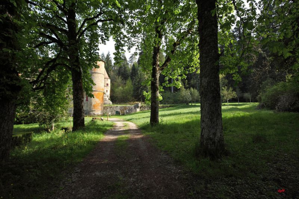
Starting in Meyrueis, this family walk leads you to a very handsome 16th century castle. Nearby are French formal gardens and one of the many arboretums created during the reforestation of the Aigoual massif.
The characteristics of the route.

Meyrueis (48)
- Distance 5.22 km
- Elevation gain 140 m
- Elevation lost 140 m
- Min. elevation 699 m
- Max. elevation. 830 m
- Duration (depending on pace) 1h30
- Suivre le balisage Yes

From Place du Champ de Mars, take the tarred road on the right and walk alongside a disused béal (irrigation channel) to the Gymnase.
Parking : Champ de Mars car park
- At the gymnasium, take the GR®6A long-distance hiking path on the left, which steadily climbs to the Col de Tribes pass (altitude 783 m).
- At the pass, take the path all the way on the right, which passes under some Scots pines, to La Clède.
- At the crossroads, take the track on your right for a few dozen metres until it comes out onto a wide forestry track. Turn right onto this track to reach the Ferrusssac road.
- At the road, turn right and, after about 50 m, turn left onto the track suitable for motor vehicles, which, after crossing the Béthuzon river, leads to Roquedols castle.
- Once you have walked around the castle, head north between two chestnut hedges and go through a forged iron gate that symbolises the entrance to the property. Walk alongside the fields that make up Roquedols estate. Once on the tarmac road, take it on the left for 230 m.
- Then take the first road on the right. Walk through the neighbourhoods of Meyrueis and, by the Hôtel de l'Europe, cross the bridge on the right to get back to the car park.
Parking : Champ de Mars car park
Area : Cévennes et Mont Lozère
Report a problem
THIS ROUTE IN YOUR MOBILE PHONE
Download Lozère Outdoor app
Get all the routes on your smartphone with the Lozère outdoor app. You'll find all outdoor activities (summer and winter seasons) and a host of functions :
- Take advantage of detailed IGN maps
- Download data for consultation even when you're not connected to the network
- Geolocate yourself at any time on the route and altimeter profile
- Activate the off-track alarm to be alerted if you stray from the itinerary
- Share your experience (add a report, share your lap time)...

Add your time and share your feelings


Follow us on
the digital trails
the digital trails


![]()
The Lozère Outdoor application was created
by the Lozère Department
Infos & contacts
Conseil départemental de la Lozère
sportsnature@lozere.fr
+33(0)4 66 49 66 32
Crédits photos
 Lozère Outdoor - Parcours - Roquedols Castle
Hello, world! This is a toast message.
Lozère Outdoor - Parcours - Roquedols Castle
Hello, world! This is a toast message.
Lozère Outdoor - Parcours - Roquedols Castle
Hello, world! This is a toast message.


OK
Annuler