
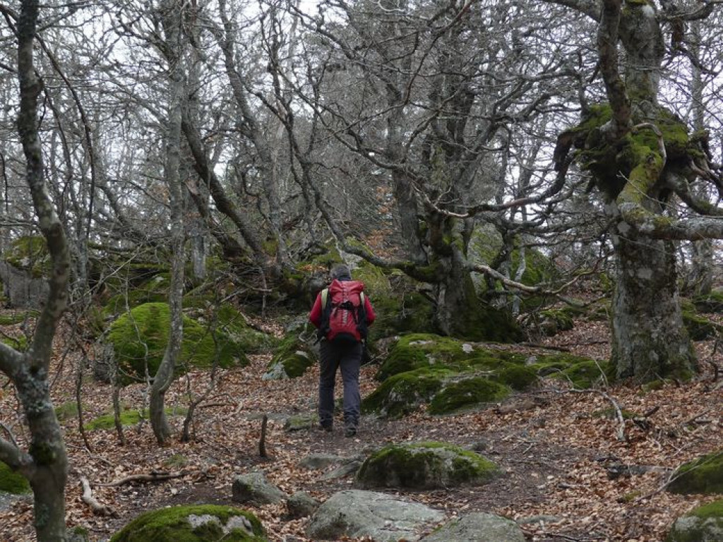
A beautiful immersion in the different atmospheres of Mont Lozère with, as a bonus, the top of Pic Cassini, which has panoramic views.

- Distance 11.71 km
- Elevation gain 420 m
- Elevation lost 420 m
- Min. elevation 1381 m
- Max. elevation. 1677 m
- Duration (depending on pace) 4h
- Suivre le balisage Yes

Signposts will guide you all along this route. In the description below, the signposted place names and/or directions are given in bold italics between quotation marks:
From “Mas de La Barque”, walk to “Le Pic de Cassini” via :
- “Bois de Bellecoste”,
- “Sous la tête de Bœuf”
- “Col de l’Aigle”. Return to Pic Cassini.
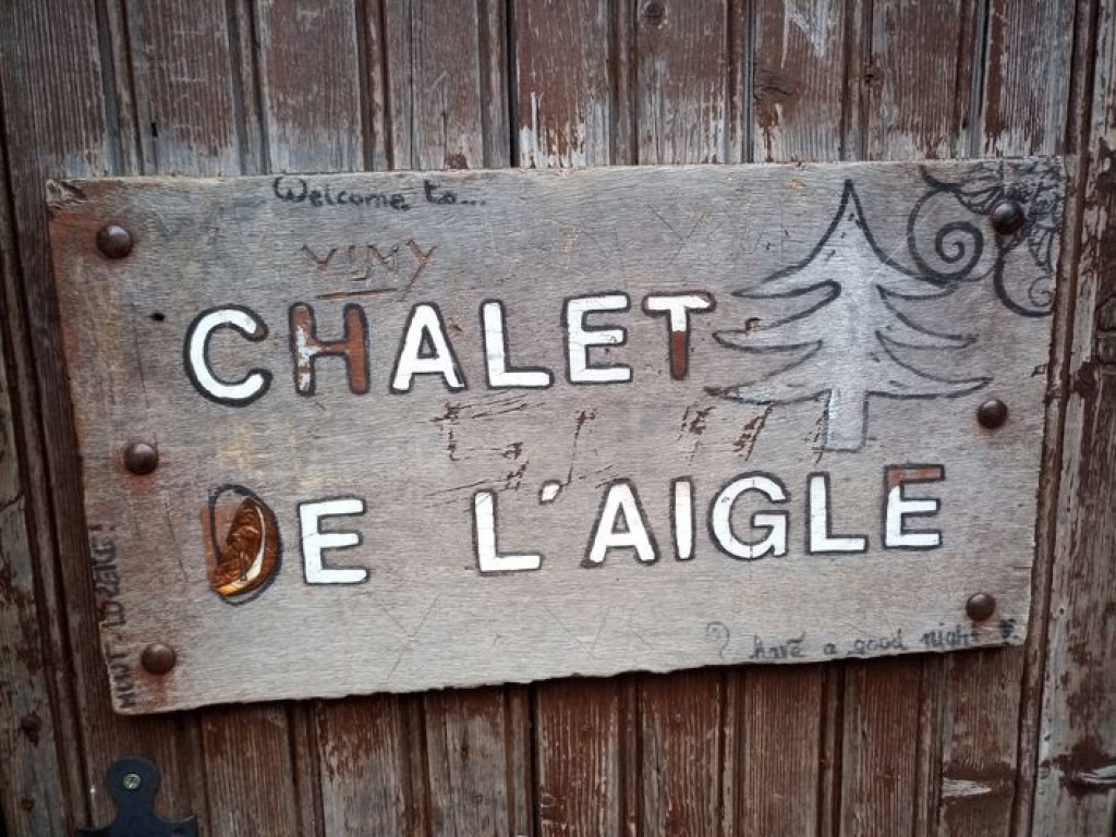
- Then go left towards “Chalet de l’Aigle”.
- At “Chalet de l’Aigle”, return to “Mas de la Barque” via :
- “Sous le chalet de l’Aigle”,
- “Lous Felzillas”,
- “La roche fendue”,
- “Sous la roche fendue” 2x,
- “Gardione” 2x,
- “Rochers de la Barque” and “Les écuries de Mas de la Barque”.
This hike is taken from the guidebook Mont Lozère - Pays des sources, Sommet des Cévennes published by the Pôle de pleine nature du Mont Lozère.
Parking : Mas de La Barque
Get all the routes on your smartphone with the Lozère outdoor app. You'll find all outdoor activities (summer and winter seasons) and a host of functions :
- Take advantage of detailed IGN maps
- Download data for consultation even when you're not connected to the network
- Geolocate yourself at any time on the route and altimeter profile
- Activate the off-track alarm to be alerted if you stray from the itinerary
- Share your experience (add a report, share your lap time)...


the digital trails


![]()
The Lozère Outdoor application was created
by the Lozère Department
Infos & contacts
Conseil départemental de la Lozère
sportsnature@lozere.fr
+33(0)4 66 49 66 32
Crédits photos
 Lozère Outdoor - Parcours - Chalet de l’Aigle
Lozère Outdoor - Parcours - Chalet de l’Aigle
Lozère Outdoor - Parcours - Chalet de l’Aigle
Lozère Outdoor - Parcours - Chalet de l’Aigle
Lozère Outdoor - Parcours - Chalet de l’Aigle

