
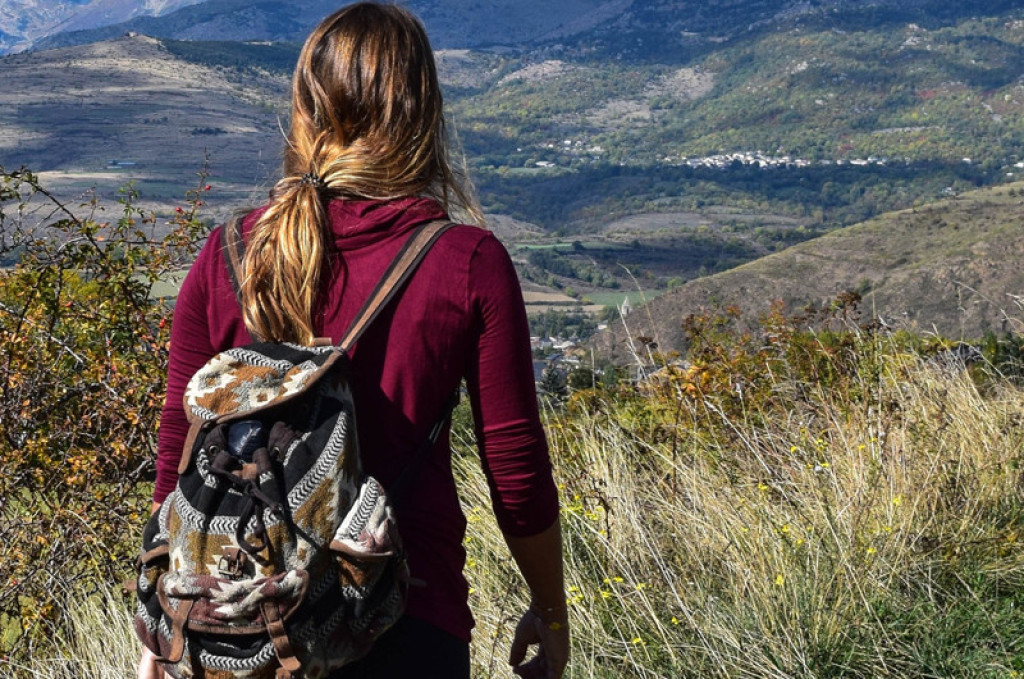
First-rate hike reserved for enthusiasts along the heights of the Valdonnez, including the Masseguin massif. The ridge lines overlooking the valleys have far-reaching views all the way to the Truc de Balduc.

- Distance 20.14 km
- Elevation gain 470 m
- Elevation lost 470 m
- Min. elevation 817 m
- Max. elevation. 1204 m
- Duration (depending on pace) 6h30
- Suivre le balisage Yes

Signposts will guide you all along this route, as well as yellow painted waymarks. In the description below, the signposted place names and/or directions are given in bold italics between quotation marks :
Starting at “LANUÉJOLS”, walk to “Eglise” then :
- “La Coste”. At “La Coste”, go right towards :
- “Vitrolles”. At “Vitrolles”, continue straight ahead to :
- “Combe Sourde”. At “Combe Sourde”, go right towards :
- “Le Masseguin”. At “Le Masseguin”, continue straight ahead to :
- “Sous le Col de la Loubière”. At “Sous le Col de la Loubière”, go left to :
- “Col de la Loubière 2x”. At “Col de la Loubière”, walk to :
- “Ron des Classes”. At “Ron des Classes”, continue straight ahead to “CHAPIEU” via :
- “Plot de la Coste”,
- “La Valette”.
- At “CHAPIEU”, turn left to return to “LANUÉJOLS” via :
- “Vieux Chapieu”,
- “Condamine”,
- “Lou Martoulet”.
This hike is taken from the guidebook Mont Lozère – Pays des sources, de la montagne du Goulet aux gorges du Bramont, published by the Pôle de pleine nature du Mont Lozère.
Parking : Car park at the mausoleum
Get all the routes on your smartphone with the Lozère outdoor app. You'll find all outdoor activities (summer and winter seasons) and a host of functions :
- Take advantage of detailed IGN maps
- Download data for consultation even when you're not connected to the network
- Geolocate yourself at any time on the route and altimeter profile
- Activate the off-track alarm to be alerted if you stray from the itinerary
- Share your experience (add a report, share your lap time)...


the digital trails


![]()
The Lozère Outdoor application was created
by the Lozère Department
Infos & contacts
Conseil départemental de la Lozère
sportsnature@lozere.fr
+33(0)4 66 49 66 32
Crédits photos
 Lozère Outdoor - Parcours - Causse du Masseguin
Lozère Outdoor - Parcours - Causse du Masseguin
Lozère Outdoor - Parcours - Causse du Masseguin
Lozère Outdoor - Parcours - Causse du Masseguin
Lozère Outdoor - Parcours - Causse du Masseguin

