Castelviel
Add to my favorites

Route opened

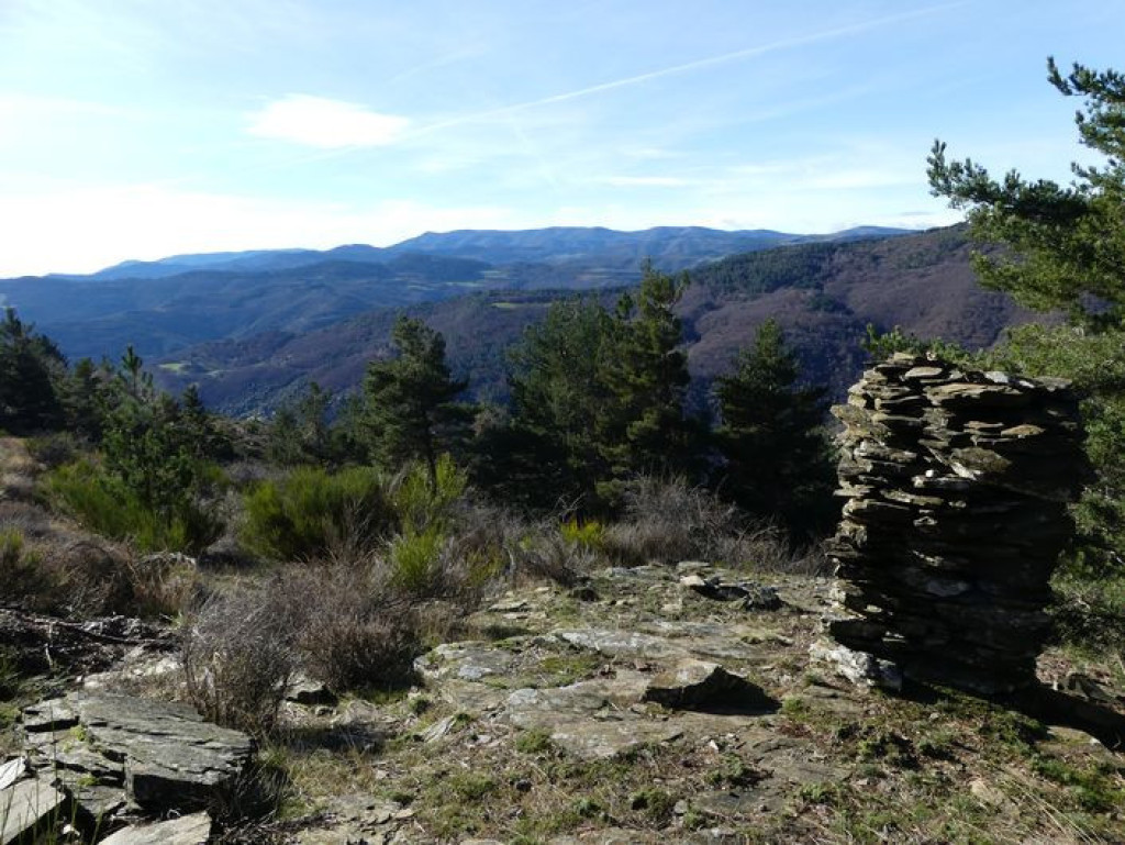
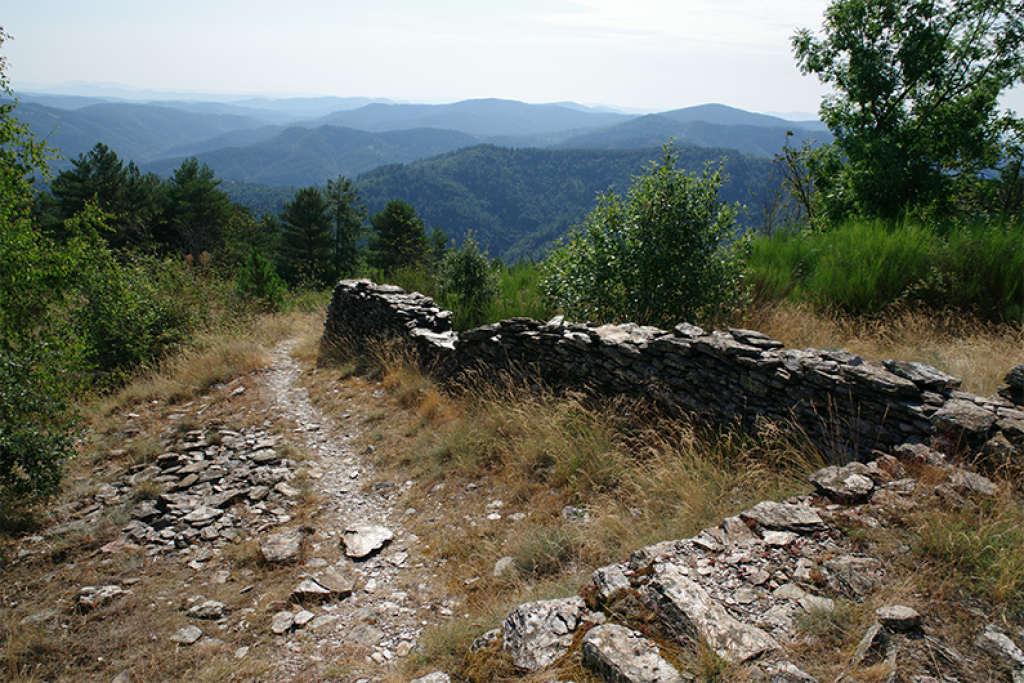
Ce sentier de crête offre des panoramas d’exception sur la vallée de Trabassac, la corniche des Cévennes et le mont Aigoual. Un lieu singulier où histoire et paysages se confondent !
This ridge path offers exceptional panoramic views over the Trabassac valley, the Corniche des Cévennes and Mont Aigoual: a singular area, where history and landscape merge!
The characteristics of the route.

Au col à 2km avant Saint-Martin de Lansuscle (D 28) (48)
- Distance 8.47 km
- Elevation gain 370 m
- Elevation lost 370 m
- Min. elevation 672 m
- Max. elevation. 916 m
- Duration (depending on pace) 3h30
- Suivre le balisage Yes

From the parking area, cross the road and take the forestry track opposite.
1) After 600 m, take the track on the right. You walk below pines and clear-cut areas.
2) At the intersection, take the track on the right; at the second intersection, continue straight ahead.
3) Take the leftmost track and cross over to the other side of the ridge.
4) After 1.1 km, the track turns slightly left. Then it changes into a path and veers right (steep slope). Walk alongside the ridge. Be careful: some sections are vertiginous and schist bedrock might be slippery when it is raining.
5) When you arrive at the highest point, take the path on the left to another high point.
6) Continue for 20 metres, until you see the path again (steep section on schist).
7) At the intersection, turn left. At the second intersection, continue straight ahead. Finally, at the third intersection, turn right onto the first track of this walk. You will reach the parking area after 1.4 km.
Parking : Pass between Sainte-Croix Vallée Française and Saint-Martin de Lansuscle (D 28)
Area : Cévennes et Mont Lozère
Report a problem
Pdf file THIS ROUTE IN YOUR MOBILE PHONE
Download Lozère Outdoor app
Get all the routes on your smartphone with the Lozère outdoor app. You'll find all outdoor activities (summer and winter seasons) and a host of functions :
- Take advantage of detailed IGN maps
- Download data for consultation even when you're not connected to the network
- Geolocate yourself at any time on the route and altimeter profile
- Activate the off-track alarm to be alerted if you stray from the itinerary
- Share your experience (add a report, share your lap time)...

Add your time and share your feelings


Follow us on
the digital trails
the digital trails


![]()
The Lozère Outdoor application was created
by the Lozère Department
Infos & contacts
Conseil départemental de la Lozère
sportsnature@lozere.fr
+33(0)4 66 49 66 32
Crédits photos
 Lozère Outdoor - Parcours - Castelviel
Hello, world! This is a toast message.
Lozère Outdoor - Parcours - Castelviel
Hello, world! This is a toast message.
Lozère Outdoor - Parcours - Castelviel
Hello, world! This is a toast message.


OK
Annuler