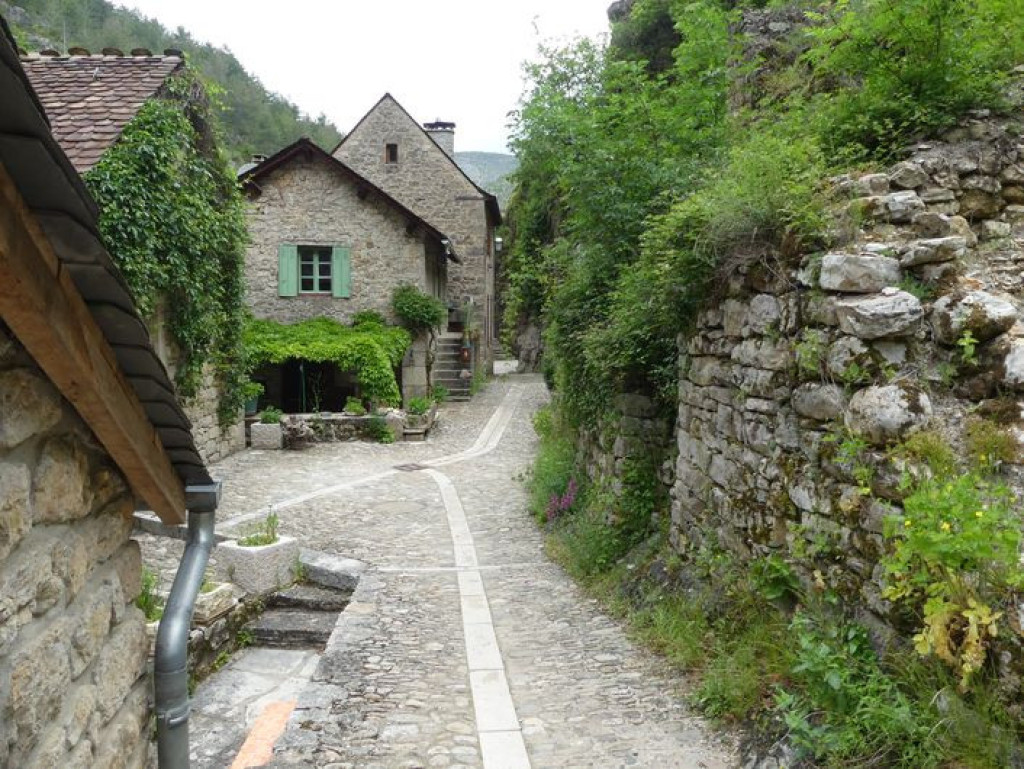
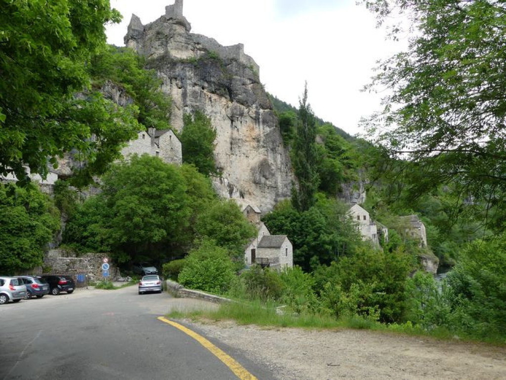
Castelbouc
Add to my favorites

Route opened
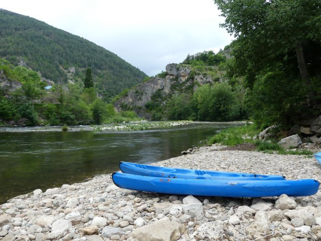
This is a fairly shaded walk with pretty views onto the protected site of Castelbouc and the opportunity for a swim at the end!
The characteristics of the route.

Castelbouc, à l'entrée du village (48)
- Distance 4.12 km
- Elevation gain 260 m
- Elevation lost 260 m
- Min. elevation 488 m
- Max. elevation. 715 m
- Duration (depending on pace) 2h
- Suivre le balisage Yes

From the car park, enter the hamlet and cross the square.
1) At the bread oven, take the lane on the left. 50 m further on, turn left and climb to the castle ruins. Go uphill on this path, ignoring all others. It comes out on an old forest track.
2) Turn right and follow the forest track for over a kilometre.
3) At the fork, continue straight ahead on the track that goes downhill to join up with the old track linking “Chaldas/Castelbouc”.
4) Take this downhill to Castelbouc. Go back up into the hamlet to reach the car park.
Parking : As you enter the hamlet
Area : Causses et Gorges
Report a problem
Pdf file THIS ROUTE IN YOUR MOBILE PHONE
Download Lozère Outdoor app
Get all the routes on your smartphone with the Lozère outdoor app. You'll find all outdoor activities (summer and winter seasons) and a host of functions :
- Take advantage of detailed IGN maps
- Download data for consultation even when you're not connected to the network
- Geolocate yourself at any time on the route and altimeter profile
- Activate the off-track alarm to be alerted if you stray from the itinerary
- Share your experience (add a report, share your lap time)...

Add your time and share your feelings


Follow us on
the digital trails
the digital trails


![]()
The Lozère Outdoor application was created
by the Lozère Department
Infos & contacts
Conseil départemental de la Lozère
sportsnature@lozere.fr
+33(0)4 66 49 66 32
Crédits photos
 Lozère Outdoor - Parcours - Castelbouc
Hello, world! This is a toast message.
Lozère Outdoor - Parcours - Castelbouc
Hello, world! This is a toast message.
Lozère Outdoor - Parcours - Castelbouc
Hello, world! This is a toast message.


OK
Annuler