
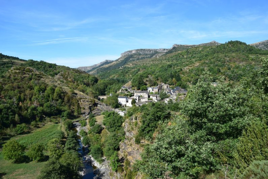
This forest path explores the banks of the Tarnon river. From the small plateau of the Can de l’Hospitalet, you have breathtaking views onto the cliffs of the Causse Méjean.

- Distance 9.09 km
- Elevation gain 320 m
- Elevation lost 320 m
- Min. elevation 623 m
- Max. elevation. 890 m
- Duration (depending on pace) 3h30
- Suivre le balisage Yes

Start on the village square in Vébron. Walk on the D 907 road towards Rousses, cross the old bridge and take on your left the path that runs alongside the Tarnon. At the first crossing, turn left. Cross the wooden footbridge over the brook, then go uphill.
- At the crossing, continue straight ahead to Broussous.
- In Broussous, your track joins up with another track, onto which you turn right.
- At the next crossing, continue straight, ignoring the path that goes downhill on the right.
- You join up with a track. Turn right onto the track and walk to a clear ledge.
- Continue straight ahead, ignoring on your left the path to L’Hospitalet.
- Take the path on the left that goes down through the chestnut grove towards Les Vanels. At the intersection, go down in front (under the telephone pole).
- Arrived at Les Vanels, follow the RD 907 on the right for 750m.
- The route leaves the road on the right, then left on a path, without going through the hamlet (follow the signs well). Cross the river, the return to Vébron is done by the right bank of the Tarnon at the old bridge of Vébron.
Parking : On the village square in Vébron
Get all the routes on your smartphone with the Lozère outdoor app. You'll find all outdoor activities (summer and winter seasons) and a host of functions :
- Take advantage of detailed IGN maps
- Download data for consultation even when you're not connected to the network
- Geolocate yourself at any time on the route and altimeter profile
- Activate the off-track alarm to be alerted if you stray from the itinerary
- Share your experience (add a report, share your lap time)...


the digital trails


![]()
The Lozère Outdoor application was created
by the Lozère Department
Infos & contacts
Conseil départemental de la Lozère
sportsnature@lozere.fr
+33(0)4 66 49 66 32
Crédits photos
 Lozère Outdoor - Parcours - Broussous
Lozère Outdoor - Parcours - Broussous
Lozère Outdoor - Parcours - Broussous
Lozère Outdoor - Parcours - Broussous
Lozère Outdoor - Parcours - Broussous

