Bézuc
Add to my favorites

Route opened
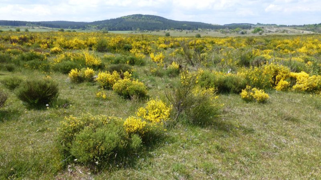
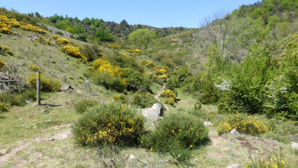
Ce circuit vous conduit de la corniche des Cévennes jusqu'à la can de l’Hospital, petit causse perdu au milieu de l’océan des montagnes cévenoles. Les paysages traversés sont d’une infinie variété.
This loop takes you from the Corniche des Cévennes to the Can de l’Hospitalet, a small causse (plateau) lost amidst the undulating Cévenol mountains. You cross an infinite variety of landscapes.
The characteristics of the route.

Pompidou (place de la salle des fêtes) (48)
- Distance 16.19 km
- Elevation gain 450 m
- Elevation lost 450 m
- Min. elevation 780 m
- Max. elevation. 1078 m
- Duration (depending on pace) 6h30
- Suivre le balisage Yes

Start on the square in front of the Salle des fêtes.
1) Take the lane, then turn left to join up with the path that climbs to the Col de Tartabissac pass.
2) At the pass, take the path on the left. Be careful fording the river and avoid this walk altogether during heavy rain.
3) At Bézuc, go over the stile and cross the road. Take the path opposite. After 300 m, turn left; then, after 400 m, turn left again and take the path that climbs to L'Hospitalet.
4) At L'Hospitalet, cross the road and continue on the track (GR 7) for 3.9 km. Leave the track to take a path on the left to the hamlet of La Bastide.
5) Go through the hamlet and follow the road to Les Crottes. Go past the farm on the left to take a path that goes downhill through the limestone cliffs. Turn left onto the road to join up with the D 9 and a stile. Arrive at L'Abeuradou, then take the D 9 for 120 m and, in the bend, go straight downhill to Le Pompidou.
Parking : Car park below the mairie (town hall)
Area : Cévennes et Mont Lozère
Report a problem
Pdf file THIS ROUTE IN YOUR MOBILE PHONE
Download Lozère Outdoor app
Get all the routes on your smartphone with the Lozère outdoor app. You'll find all outdoor activities (summer and winter seasons) and a host of functions :
- Take advantage of detailed IGN maps
- Download data for consultation even when you're not connected to the network
- Geolocate yourself at any time on the route and altimeter profile
- Activate the off-track alarm to be alerted if you stray from the itinerary
- Share your experience (add a report, share your lap time)...

Add your time and share your feelings


Follow us on
the digital trails
the digital trails


![]()
The Lozère Outdoor application was created
by the Lozère Department
Infos & contacts
Conseil départemental de la Lozère
sportsnature@lozere.fr
+33(0)4 66 49 66 32
Crédits photos
 Lozère Outdoor - Parcours - Bézuc
Hello, world! This is a toast message.
Lozère Outdoor - Parcours - Bézuc
Hello, world! This is a toast message.
Lozère Outdoor - Parcours - Bézuc
Hello, world! This is a toast message.


OK
Annuler