Bel Air
Add to my favorites

Route opened
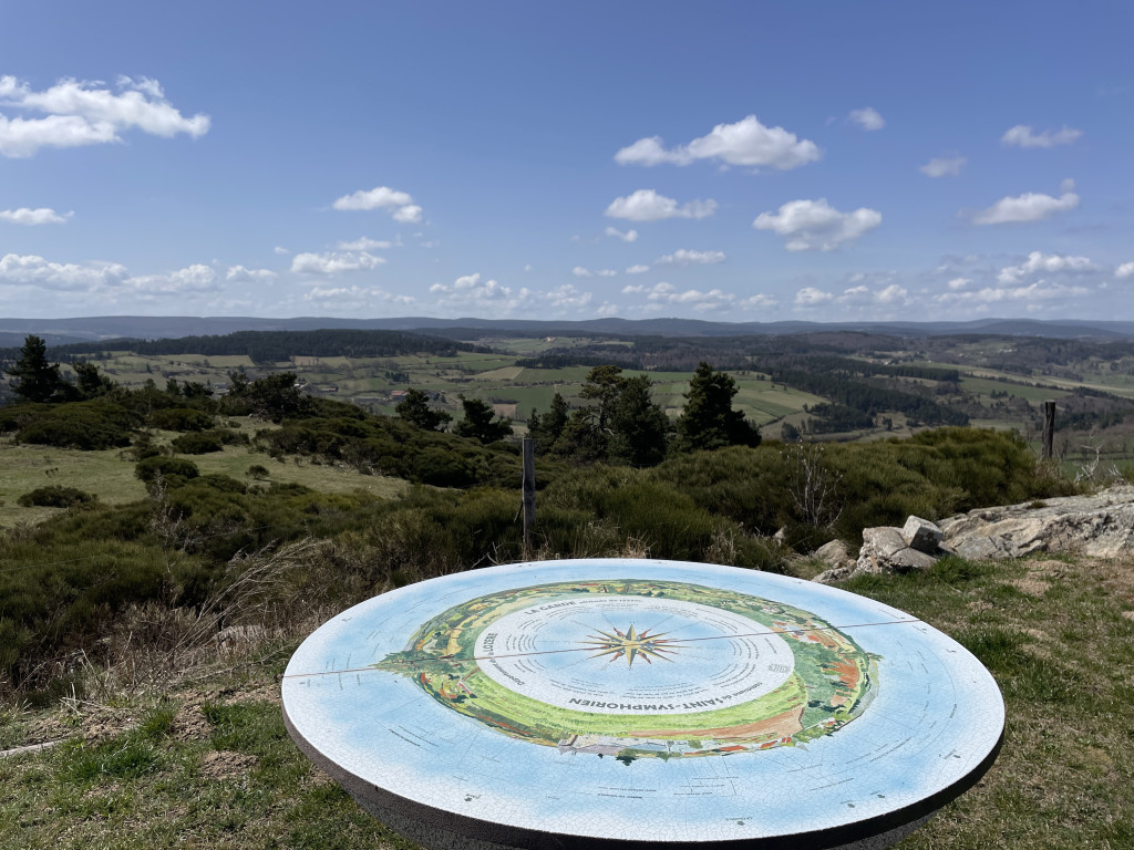
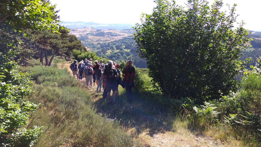
Beautiful views of the Haute-Loire hills
"Bel Air" was the revolutionary name for Saint-Symphorien (altitude 1,200 m). "Symphorien" means "He who is carried with oneself" or "He who carries us with him," that is to say, someone whose presence is satisfactory.
The characteristics of the route.
Saint Symphorien (48)
- Distance 8.16 km
- Elevation gain 190 m
- Elevation lost 190 m
- Min. elevation 1105 m
- Max. elevation. 1226 m
- Duration (depending on pace) 2h30
- Suivre le balisage Yes

- Join the main crossroads in the center of the village of Saint-Symphorien. Turn right, then, a few meters further on, take the gravel path on the left leading to the orientation table.
- Return to the junction and turn left onto the paved road. Walk alongside the houses of the hamlet of Pissepeau, continuing straight ahead on the road to reach the entrance of the hamlet of La Vialatte.
- At the crossroads, cross the road, leave the village on your right, and follow the path opposite, continuing straight ahead to the hamlet of Donaldès. Go straight ahead and cross the hamlet.
- Turn right onto the path that climbs uphill, keeping the various intersections on your left, and continue straight ahead to reach a crossroads. Turn right to reach the hamlet of Beysserettes; cross through it.
- Take the left-hand path, which continues as a track (pay attention to the trail markers).
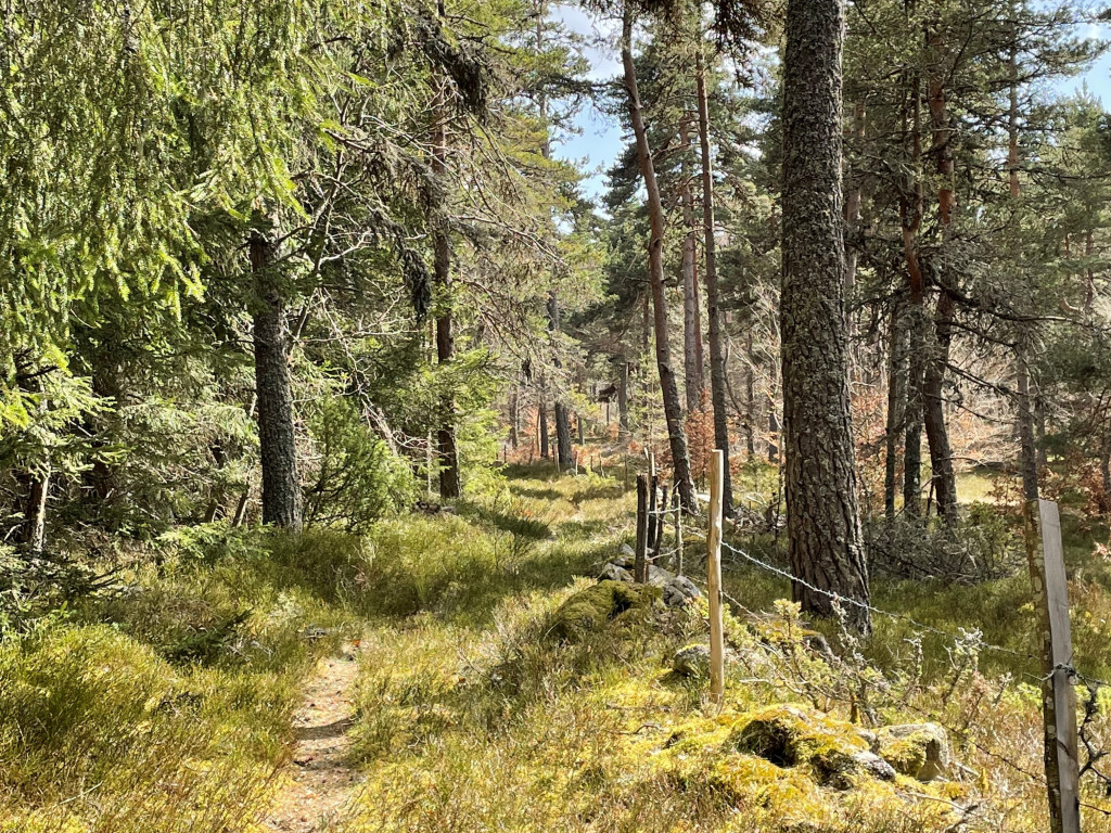
- Take the track that winds its way into the woods. At the next junction, turn right and continue to the following intersection.
- Turn right again and enter the forest; follow the grassy path that runs along the edge of a field bordered by a low wall and a hedge of trees on its right. You will cross through large woods, continuing straight ahead between barbed wire fences and stone walls.
- At the edge of the woods, turn right, walk alongside farmland on your left, and pass near the Mas Chambaud farm. At the next junction, take the left-hand path. You will see the steeple of the church of Saint-Symphorien and, further on, the Margeride mountain range (Col de la Baraque des Bouviers, 1,400 m, to the west) on the horizon. Return to the starting point by road.
Parking : Near the Church
Area : Margeride
Report a problem
Pdf file THIS ROUTE IN YOUR MOBILE PHONE
Download Lozère Outdoor app
Get all the routes on your smartphone with the Lozère outdoor app. You'll find all outdoor activities (summer and winter seasons) and a host of functions :
- Take advantage of detailed IGN maps
- Download data for consultation even when you're not connected to the network
- Geolocate yourself at any time on the route and altimeter profile
- Activate the off-track alarm to be alerted if you stray from the itinerary
- Share your experience (add a report, share your lap time)...

Add your time and share your feelings


Source of the data : Département de la Lozère

Follow us on
the digital trails
the digital trails


The Lozère Outdoor application was created
by the Lozère Department
Infos & contacts
Conseil départemental de la Lozère
sportsnature@lozere.fr
+33(0)4 66 49 66 32
Crédits photos
 Lozère Outdoor - Parcours - Bel Air
Hello, world! This is a toast message.
Lozère Outdoor - Parcours - Bel Air
Hello, world! This is a toast message.
Lozère Outdoor - Parcours - Bel Air
Hello, world! This is a toast message.


OK
Annuler