
ATTENTION, TRAIL CLOSED UNTIL FURTHER NOTICE. THANK YOU FOR YOUR COOPERATION.
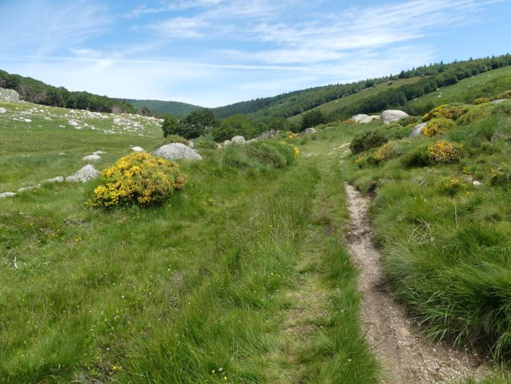
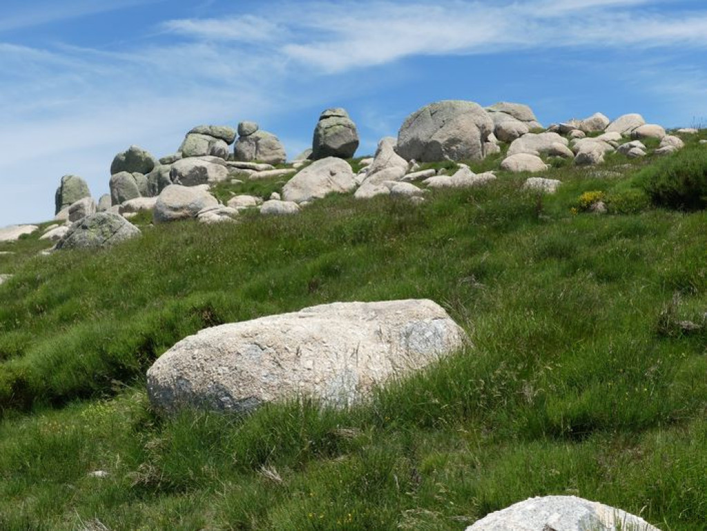
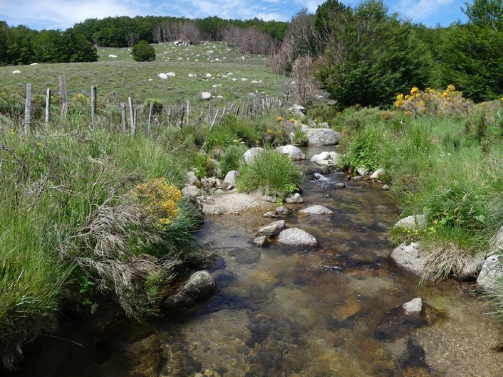
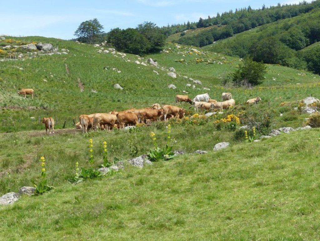
On this walk you encounter a variety of natural environments, from granite block fields to wetlands, from short-grass prairies to a broom heath with scattered gentian and forests of crooked beech trees. This is a pleasant path offering views over the open landscape onto the Gard Cévennes as well as multi-coloured scenes throughout the seasons.
ATTENTION, TRAIL CLOSED UNTIL FURTHER NOTICE. THANK YOU FOR YOUR COOPERATION.
Discover the Gourdouze valley with its remarkable views.

- Distance 9.85 km
- Elevation gain 280 m
- Elevation lost 280 m
- Min. elevation 1266 m
- Max. elevation. 1425 m
- Duration (depending on pace) 3h
- Suivre le balisage Yes

Signposts will guide you all along this route. In the description below, the signposted place names and/or directions are given in bold italics between quotation marks:
From “Mas de la Barque”, make for “Les Écuries du Mas de la Barque”, then :
- “Rochers de la Barque” 2x. Then head to :
- “Les Faux des Armes”,
- “La Chassalde”.
Leave the track and turn left (GR®68) towards : - “La Jasse d'Olibou”,
- “Les Bouzèdes”.
Go back uphill to : - “Bouos d'Hommes”,
- “La Roche Fendue” 2x, “Sous la roche Fendue” 2x, “Gardione” 2x, “Rochers de la Barque” 2x, “Les Écuries du Mas de la Barque”, “Mas de la Barque”.
This hike is taken from the guidebook Mont Lozère - Pays des sources, published by the Pôle de pleine nature du Mont Lozère.
Parking : Car park at Mas de la Barque
Get all the routes on your smartphone with the Lozère outdoor app. You'll find all outdoor activities (summer and winter seasons) and a host of functions :
- Take advantage of detailed IGN maps
- Download data for consultation even when you're not connected to the network
- Geolocate yourself at any time on the route and altimeter profile
- Activate the off-track alarm to be alerted if you stray from the itinerary
- Share your experience (add a report, share your lap time)...


the digital trails


![]()
The Lozère Outdoor application was created
by the Lozère Department
Infos & contacts
Conseil départemental de la Lozère
sportsnature@lozere.fr
+33(0)4 66 49 66 32
Crédits photos
 Lozère Outdoor - Parcours - Bayardet
Lozère Outdoor - Parcours - Bayardet
Lozère Outdoor - Parcours - Bayardet
Lozère Outdoor - Parcours - Bayardet
Lozère Outdoor - Parcours - Bayardet

