
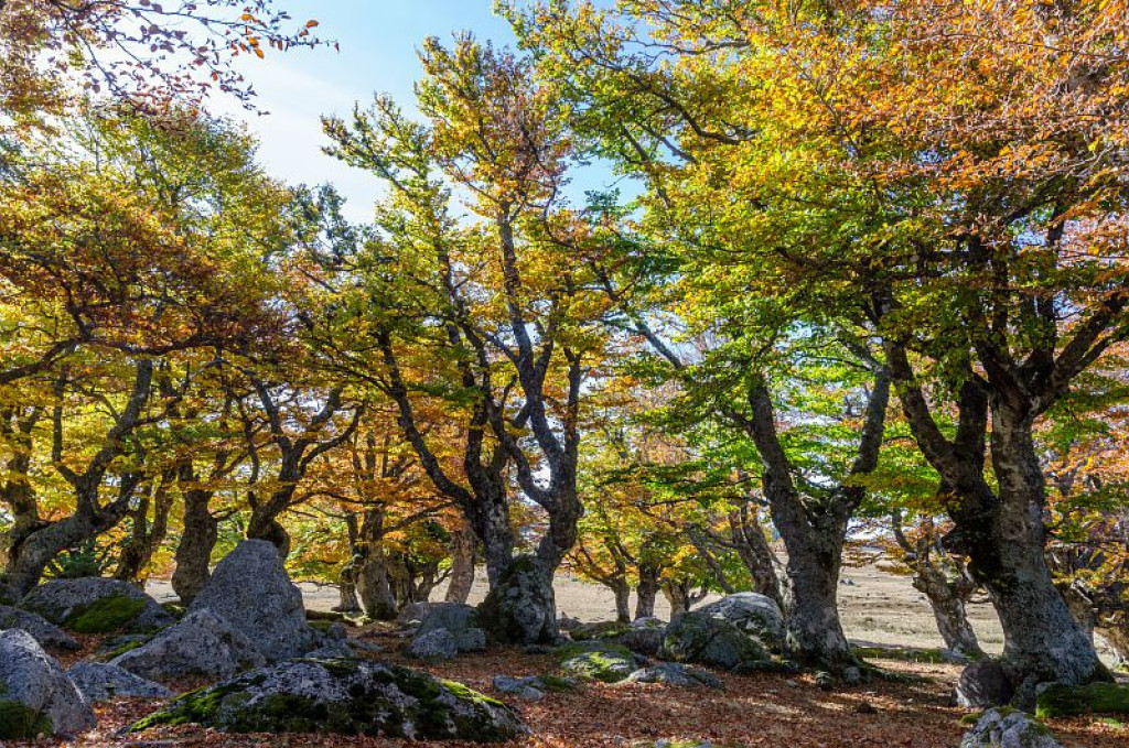
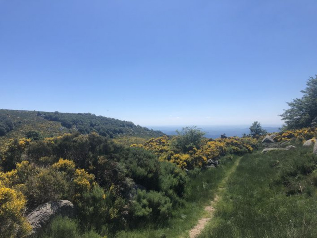
A magnificent trail through the Cévennes, with steep paths that roam through broom and across rivers, and sumptuous panoramas.
A magnificent trail through the Cévennes, with steep paths that roam through broom and across rivers, and sumptuous panoramas.

- Distance 9.7 km
- Elevation gain 280 m
- Elevation lost 280 m
- Min. elevation 1265 m
- Max. elevation. 1423 m
- Duration (depending on pace) 1h15
- Suivre le balisage Yes


You start with a downhill section of about 4km on narrow and sometimes rocky paths – some peatbogs too, but nothing too technical. You will go through several cattle barriers, please remember to close them properly.
Once you have forked onto the GR ®68 long-distance hiking path, there is a bit of a climb, but the splendid panoramic views over the Cévennes more than make up for your efforts. The trail ends with 2 km of level ground on a pretty forest track.
A longer version, waymarked 20, lets you carry on to the impressive Le Trenze cliffs (18 km).
Follow the waymarks for trail #20v.
Signposts will guide you all along this route, as well as yellow painted waymarks. In the description below, the signposted place names and/or directions are given in bold italics between quotation marks:
Starting at "Mas de La Barque", make for "col de Montclar" via :
- "Les écuries de Mas de La Barque",
- "Rochers de la barque" (2x),
- "Les faux des Armes", "La Chassalde".
- At "La Chassalde", go towards
- "La jasse d'Olibou".
- " Les Bouzèdes". Return to "Mas de La Barque" via :
- "Bouos d'homme",
- "La roche fendue",
- "Sous la roche fendue",
- "Gadione" (2x), then "Rochers de la Barque " (2x) and "Les écuries du Mas de La Barque".
This trail is taken from the guidebook Mont Lozère – Pays des sources, published by the Pôle de pleine nature du mont Lozère.
Parking : Mas de La Barque
Avant de vous engager sur un circuit, vérifiez qu'il est adapté à votre activité et à votre niveau. N'oubliez pas que le temps change vite en montagne. Refermez bien les clôtures et les portillons. Restez sur les chemins balisés.
Get all the routes on your smartphone with the Lozère outdoor app. You'll find all outdoor activities (summer and winter seasons) and a host of functions :
- Take advantage of detailed IGN maps
- Download data for consultation even when you're not connected to the network
- Geolocate yourself at any time on the route and altimeter profile
- Activate the off-track alarm to be alerted if you stray from the itinerary
- Share your experience (add a report, share your lap time)...


the digital trails


![]()
The Lozère Outdoor application was created
by the Lozère Department
Infos & contacts
Conseil départemental de la Lozère
sportsnature@lozere.fr
+33(0)4 66 49 66 32
Crédits photos
 Lozère Outdoor - Parcours - Bayardet, variant Trail #20v
Lozère Outdoor - Parcours - Bayardet, variant Trail #20v
Lozère Outdoor - Parcours - Bayardet, variant Trail #20v
Lozère Outdoor - Parcours - Bayardet, variant Trail #20v
Lozère Outdoor - Parcours - Bayardet, variant Trail #20v

