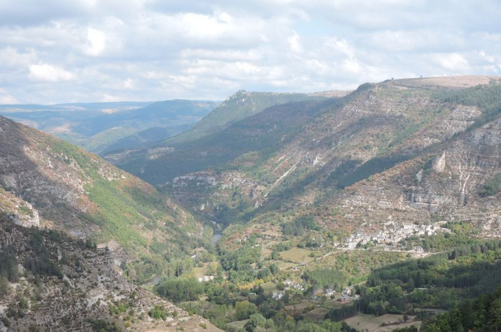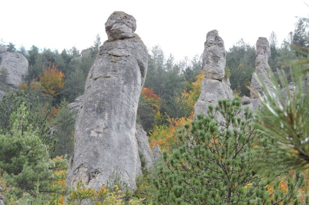
The path climbs steeply inside a mini cirque to the feet of the monoliths known as The Monks. These three rocks bear witness to the sinking of the Tarn river millions of years ago. There are superb views onto the valley and the villages that stretch along the Tarn or above it, like Montbrun.
Un sentier bien escarpé qui monte dans un mini cirque pour arriver aux pieds des monolithes baptisés « les moines », trois rochers témoins de l’enfoncement du Tarn, il y a des millions d’années. De là-haut, vue superbe sur la vallée et les villages qui longent le Tarn ou qui le surplombe comme Montbrun.
- Distance 6.37 km
- Elevation gain 490 m
- Elevation lost 490 m
- Min. elevation 497 m
- Max. elevation. 921 m
- Duration (depending on pace) 3h
- Suivre le balisage Yes

From the small car park, take the lane that goes uphill between the houses. The path starts up the slope, passes in front of a cistern and continues to a junction.
- Take, on the left, the steep climb until it cuts across a small ravine. Continue up the rather vertiginous steps until you reach a flat area at the foot of the monoliths. The path continues uphill in hairpin bends through the beech forest, until it comes out on the Causse plateau.
- As you arrive on the plateau, turn left and follow the faint track that runs along the edge of the Causse. Go slightly downhill to a basin to reach an intersection with a more marked path.
- Turn left onto this built track (low walls and, in places, stone slabs) and follow it downhill onto the Montbrun road.
- Turn left onto the road and walk to the intersection before Montbrun bridge.
- At the bridge, continue straight ahead towards the hamlet of La Chadenède and your departure point.
Parking : Car park as you enter the hamlet of La Chadenède (coming from Montbrun bridge).
Get all the routes on your smartphone with the Lozère outdoor app. You'll find all outdoor activities (summer and winter seasons) and a host of functions :
- Take advantage of detailed IGN maps
- Download data for consultation even when you're not connected to the network
- Geolocate yourself at any time on the route and altimeter profile
- Activate the off-track alarm to be alerted if you stray from the itinerary
- Share your experience (add a report, share your lap time)...




the digital trails


The Lozère Outdoor application was created
by the Lozère Department
Infos & contacts
Conseil départemental de la Lozère
sportsnature@lozere.fr
+33(0)4 66 49 66 32
Crédits photos
 Lozère Outdoor - Parcours - La Chadenède, The Monks
Lozère Outdoor - Parcours - La Chadenède, The Monks
Lozère Outdoor - Parcours - La Chadenède, The Monks
Lozère Outdoor - Parcours - La Chadenède, The Monks
Lozère Outdoor - Parcours - La Chadenède, The Monks